
 Overnight on America’s Forecast with Savannah Reed
Winter's First Blast Brings Mountain Snow and a Freeze to the East After Midwest Storms
A strengthening nor'easter is spreading rain and higher-elevation snow across the Northeast and Appalachians Thursday and Friday, with much colder air following Wednesday's severe storms in the Ohio Valley.
Filed November 12, 2026 · 📍 Philadelphia, PA 19107
Were you there? Share your story

Key points
- Rain and mountain snow spread across the Northeast Thursday into Friday as a coastal low strengthens off New Jersey.
- FOX Weather forecasts 5 to 8 inches in the higher terrain of New England and the Adirondacks, locally up to a foot.
- Tornado warnings were issued in west-central Indiana Wednesday as storms crossed the Ohio Valley.
- A widespread frost and freeze is expected across the South and Southeast this weekend.
The first real taste of winter is arriving in the eastern United States. A storm system that touched off severe thunderstorms and tornado warnings in the Midwest on Wednesday is now moving east, and CBS News reported it "could dump up to 10 inches of snow in some places" while bringing sub-freezing temperatures to millions [1].
In its Wednesday afternoon discussion, the National Weather Service's Weather Prediction Center said the low would cross the Mid-Atlantic on Thursday and strengthen off the New Jersey coast, spreading rain across the Northeast into Friday before colder air wraps around the storm and turns rain to snow over higher ground Thursday night into Friday [2]. The storm is expected to track toward Cape Cod and Canada's Maritime provinces by Saturday [2].
Where the Snow Will Fall
The heaviest snow is expected in the mountains, not the big cities. "Accumulating snow and slick travel are likely at elevation," the Weather Prediction Center said of the higher terrain of New York, northeastern Pennsylvania and northern New England, adding that lower elevations will mostly see rain or a brief mix [2].
FOX Weather forecast 5 to 8 inches for the White Mountains of New Hampshire and Maine, Vermont's Green Mountains, New York's Adirondacks and parts of the Appalachians in West Virginia and Massachusetts, with up to a foot possible in the highest spots of the White and Green mountains and in the Great Lakes snow belts [3]. The FOX Forecast Center said the impacts "will largely depend on how quickly the system moves offshore" [3].
The Allegheny Plateau of New York and Pennsylvania could see 1 to 3 inches, most of the rest of the Northeast less than 3 inches, and the Interstate 95 corridor south of Maine is not expected to see accumulating snow in its major cities, FOX Weather reported [3]. Valley cities such as Albany, Binghamton, Burlington, Manchester and Augusta could see some snow, and heavy rain is expected to reach Philadelphia and New York City Thursday night [3].
Farther south, the Weather Prediction Center said the central and southern Appalachians could see snow from Thursday night into the weekend, for some places the first flakes of the season [2]. USA Today reported that the Weather Service office in Charleston, W.Va., expects several inches at higher mountain elevations Friday and Saturday, while about an inch is common along the Tennessee-North Carolina border and Newfound Gap in North Carolina could see up to 5 inches [4].
Around the Great Lakes, lake-effect snow is the main story. The Weather Prediction Center warned of heavy lake-effect snow in Michigan's Upper Peninsula, with significant accumulations possible over higher terrain [2]. USA Today reported that the Weather Service office in Marquette, Mich., expects 3 to 6 inches across parts of the state, with the most impactful periods overnight, especially Thursday night [4].
Wednesday's Storms in the Midwest
CBS News reported an outbreak of storms, including possible tornadoes, across the Midwest on Wednesday [1]. In Indiana, the Weather Service issued a tornado warning for southeastern Vigo County and west-central Clay County until 6 p.m. Eastern as a storm capable of producing a tornado moved east about 8 miles southeast of Terre Haute, WFIU/Indiana Public Media reported [5]. Radar showed 60 mph wind gusts and quarter-size hail with a storm near Terre Haute, and a severe thunderstorm watch covered south-central Indiana until 11 p.m. [5]. The Weather Service office in Indianapolis listed damaging wind, large hail, lightning and "a very isolated tornado" as the main threats [5]. WFIU's updates did not report confirmed tornado touchdowns, damage or injuries [5].
FOX Weather had placed parts of Kentucky, western Tennessee, southern Illinois and southern Indiana under a Level 1 of 5 severe weather threat [3]. The Weather Prediction Center said storms along the cold front in the Ohio and Tennessee valleys could produce damaging winds before weakening late Wednesday evening [2].
The Big Chill and What Comes Next
The Weather Channel expected daytime highs to drop about 20 degrees between Wednesday and Friday from Chicago to Atlanta, Gizmodo reported [6]. The Weather Prediction Center said highs will run well below normal by Friday and that a widespread frost and freeze is expected across the South and Southeast this weekend [2]. By Saturday, lows in the 20s and 30s are forecast across most of the country east of the Mississippi River, except central and southern Florida, USA Today reported [4].
That freeze is likely to end the growing season across much of the Southeast, and AccuWeather meteorologist Tyler Roys warned that several hours below freezing can damage sensitive crops, according to USA Today [4]. The coldest air is expected over the lower Mississippi and Tennessee valleys Friday night into Saturday before shifting toward the southern Appalachians and the Piedmont Saturday night into Sunday [4].
For families, farmers and travelers, the familiar steps apply: protect plants, pets and exposed pipes, check on elderly neighbors, and allow extra time on mountain roads and along the rain-soaked I-95 corridor. Residents near the coast around New York City should watch for minor flooding at high tide, the Weather Prediction Center said [2]. Forecast models have disagreed on the storm's speed and track, and a faster storm would mean less snow, Gizmodo reported [6], so check the latest local forecast before heading out.
Sources
- [1]Opens in a new tab ↗
- [2]National Weather Service, Weather Prediction CenterShort Range Forecast DiscussionOpens in a new tab ↗
- [3]Opens in a new tab ↗
- [4]USA Today (via AOL)How much snow? Wintry weather in forecastOpens in a new tab ↗
- [5]WFIU/Indiana Public MediaUPDATES: Severe thunderstorm watch in effect until 11 p.m.Opens in a new tab ↗
- [6]Opens in a new tab ↗
Do you trust the 10-day forecast?
- Yes
- Only the first few days
- Not really
More top stories
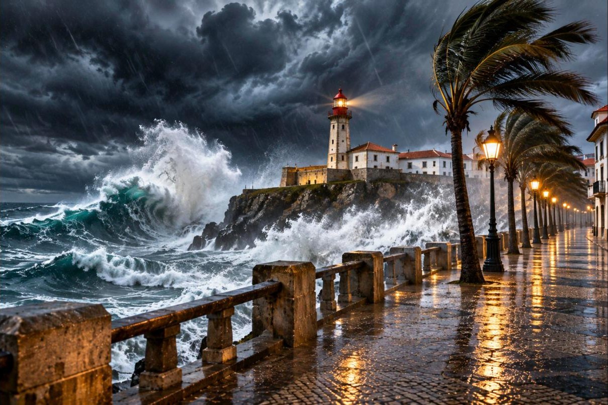
Portugal Closes Every School, Cancels 300-Plus Flights as Storm Charles Sweeps Into Iberia
Yesterday on America’s Forecast with Savannah Reed

Week 10 Fantasy Risers and Fallers: Charbonnet, Caleb Douglas and Tank Dell Climb as Marvin Harrison Jr. Slides
Overnight on Fantasy Huddle with Abby Lawson

Merab Dvalishvili Says He's Fine and Stays on Saturday's Card as Police Reportedly Question Those in the Abu Dhabi Lobby Brawl
Overnight on Fight Night with Jessie Calhoun
Were you there?
If you were at the scene, or this story touched your life, tell us what you saw and what it was like.


Discussion 0
Sign in or create a free account to join the discussion.
No comments yet. Start the discussion.