
 Tonight on America’s Forecast with Savannah Reed
Nor'easter Brings First Snow to Upstate New York, Pennsylvania and Northern New England as NYC Braces for Soaking Rain
A strengthening coastal storm is drenching New York City and the coast while turning to snow tonight in the Catskills, Adirondacks, Poconos and Green Mountains, with the season's coldest air close behind.
Filed November 12, 2026 · 📍 New York City, NY 10007
Were you there? Share your story
Key points
- Forecasters give the Catskills, Adirondacks and Green Mountains a 50 to 80 percent chance of at least 4 inches of snow Thursday night into Saturday morning.
- New York City faces half an inch to an inch and a half of rain, gusts to 30 mph and possible minor coastal flooding at high tide.
- No land-based winter advisories were posted as of Thursday afternoon, though Binghamton forecasters said totals were nearing advisory level.
- A cold weekend gives way to milder weather next week as NOAA says a very strong El Niño keeps building.
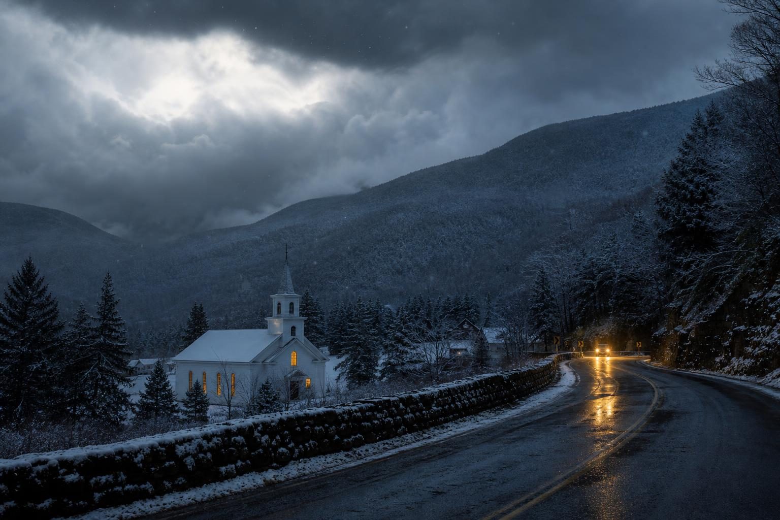
The first real taste of winter arrives in the Northeast tonight. A strengthening coastal storm is spreading a soaking rain over New York City and southern New England, and as colder air wraps in behind it, that rain is expected to turn to snow across the hills and mountains of upstate New York, northeastern Pennsylvania and northern New England, according to the National Weather Service's Weather Prediction Center [1].
Forecasters described a low sliding off the Mid-Atlantic coast, a second forming off New Jersey, and strengthening northeast winds as the system passes east of Cape Cod, the classic recipe for a nor'easter [1]. The changeover to snow on the higher terrain is forecast for Thursday night into Friday, with snow winding down by Saturday morning [1].
Where the Snow Will Fly
The Weather Prediction Center put the odds of at least 4 inches at 50 to 80 percent for the Catskills, Adirondacks and Green Mountains, but only about a 10 percent chance of an inch in valleys such as the Hudson Valley [1]. Bands of snow could fall at roughly an inch per hour as they pivot across eastern New York into the Berkshires, Connecticut's Litchfield Hills and southern Vermont and New Hampshire [1].
USA TODAY, citing the weather service and Weather.com, reported that parts of the Adirondacks and Catskills could pick up 3 to as much as 6 inches, with 1 to 3 inches in the Green and White Mountains [2]. AccuWeather meteorologist Alex Sosnowski told the paper that Saranac Lake, N.Y., and Mount Pocono, Pa., could see a slushy coating to a few inches of wet snow [2].
The weather service office in Binghamton, N.Y., said Thursday afternoon that 1 to 2 inches of rain had already fallen in northeastern Pennsylvania, and that the rain would become a mix and then snow overnight, starting on higher ground [3]. Its forecasters wrote that "most valleys should see snow by Friday morning," with localized totals above 3 inches in the higher Catskills and lake-effect snow showers following Saturday into Sunday [3]. No winter watches, warnings or advisories were in effect for its Pennsylvania or New York counties; totals were nearing advisory level, the office said, but confidence was too low to issue one [3]. The New York City office listed none Thursday morning either [4].
Soaking Rain and Wind for New York City and the Coast
Closer to the ocean, this is a rain and wind event. The weather service office in Upton, N.Y., expected the heaviest rain Thursday afternoon and evening, with totals of roughly half an inch to an inch and a half and isolated spots near 2 to 3 inches, enough for brief nuisance flooding, though it rated the flash flood threat low [4]. Gusts of 25 to 30 mph were expected in the city, on Long Island and along the Connecticut shore, and a gale warning was posted for near-shore ocean waters [4].
Minor coastal flooding is possible at the daytime high tides Thursday and Friday, aided by Monday's new moon, and coastal flood statements were issued for coastal Fairfield County, Conn., and southern Nassau County, with more possible Friday morning [4]. Rain should taper Friday night as the storm pulls out to sea [4].
Travel will be messy. Rain was expected to reach the New York-area airports by early Thursday afternoon [4], and Binghamton forecasters expected low clouds and poor visibility to hamper flying across their region through at least midday Friday, adding that sub-freezing temperatures Friday night could glaze untreated wet surfaces [3].
Getting Ready, and What Comes Next
The weather service's winter safety advice is common sense: keep emergency supplies at home and in the car, check smoke and carbon monoxide detectors, top off fuel for vehicles and heating sources, and bring pets indoors [5]. Drivers are urged to slow down, leave extra stopping distance and skip cruise control, with a blunt reminder: "All vehicles are susceptible to ice and snow. Know your limits." [5] Generators belong at least 20 feet from the house [5].
Then comes the chill. Sosnowski told USA TODAY that nearly every state along and east of the Mississippi River should see its lowest temperatures of the season so far this weekend [2]. The Weather Prediction Center expects highs 5 to 10 degrees below average from the Southeast into the Mid-Atlantic on Sunday [1], while New York City should top out near 50, with morning lows in the 20s and 30s [4].
The cold should not linger. Upton forecasters expect slow moderation early next week [4], and the Climate Prediction Center favors warmer-than-average temperatures later next week for most of the country east of the Rockies [2]. On Thursday, the same agency said El Niño has intensified and is still strengthening, classifying it as a very strong event likely to last through March, CBS News reported [6]. That pattern tends to mean a milder, drier winter across the northern part of the continent and a stormier one in the South [6].
For most households this storm will be more nuisance than danger, but the first snow always catches someone off guard. Put the ice scraper back in the car, look in on an elderly neighbor, and give thanks for a warm home. Preparation is not fear; it is good stewardship.
Sources
- [1]NOAA Weather Prediction CenterNational Forecast Highlights and Northeast Coastal Storm Discussion, Nov. 12, 2026Opens in a new tab ↗
- [2]USA TODAY (via Yahoo News)A wintry forecast of snow and cold is about to take a turnOpens in a new tab ↗
- [3]National Weather Service Binghamton, N.Y.Area Forecast Discussion, Nov. 12, 2026Opens in a new tab ↗
- [4]National Weather Service New York, N.Y. (Upton)Area Forecast Discussion, Nov. 12, 2026Opens in a new tab ↗
- [5]National Weather ServiceWinter Safety InfographicsOpens in a new tab ↗
- [6]Opens in a new tab ↗
Do you trust the 10-day forecast?
- Yes
- Only the first few days
- Not really
More in Weather & Natural Disasters
Eight Dead, Two of Them Children, in Brooklyn Building Collapse as Questions Mount Over the Dig Next Door
Today on On Scene with Beau Thibodeaux
Winter's First Blast Brings Mountain Snow and a Freeze to the East After Midwest Storms
Overnight on America’s Forecast with Savannah Reed
Portugal Closes Every School, Cancels 300-Plus Flights as Storm Charles Sweeps Into Iberia
Yesterday on America’s Forecast with Savannah Reed
Were you there?
If you were at the scene, or this story touched your life, tell us what you saw and what it was like.


Discussion 0
Sign in or create a free account to join the discussion.
No comments yet. Start the discussion.