Weather & Natural Disasters
Up to Four Feet of Snow and 100 mph Ridge Gusts: A Winter Storm Warning Covers Yosemite and Tahoe Through Friday
Forecasters say Thursday will be the hardest day to travel in the Sierra as a powerful storm buries the high country a week before Thanksgiving.
By SAVANNAH REEDStaff Correspondent · CALIFORNIA · Nov 18, 1:15 AM · 3 min. read
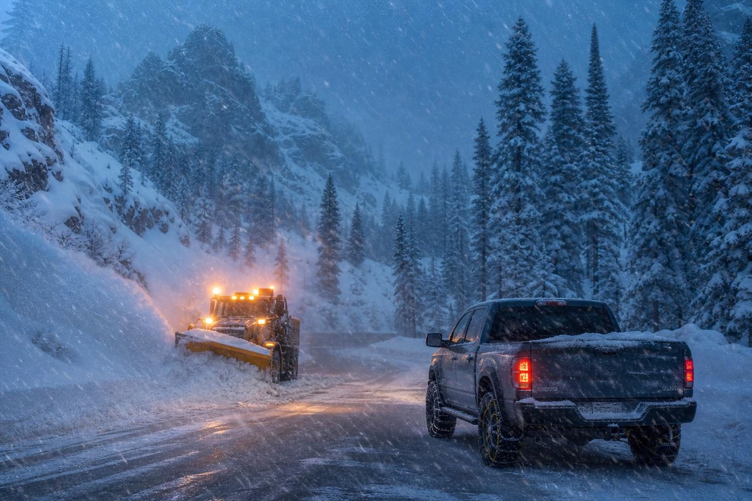
Illustration · Liberty Bell Report
A powerful winter storm is moving into the Sierra Nevada, and forecasters are warning that travel through the mountains could become very difficult or impossible before it is over. The National Weather Service in Hanford has issued a Winter Storm Warning for elevations above 5,000 feet from 4 a.m. Wednesday, Nov. 18, through 4 a.m. Friday, Nov. 20, and the warning includes Yosemite National Park outside the Valley, Sierra News Online reported.
The storm follows the atmospheric river that soaked much of California earlier this week, and it arrives just over a week before Thanksgiving, when many families will be heading for the mountains or driving over them.
How much snow, and where
Forecasters in Hanford expect total snow of 1 to 2 feet above 5,000 feet, with accumulations of around 4 feet above 8,000 feet, according to Sierra News Online. A separate update from myMotherLode forecast one to four feet of snow above 5,000 feet in the central Sierra.
Around Lake Tahoe, forecasters expect 2 to 4 feet of snow above 7,000 feet from Wednesday through early Friday, the San Francisco Chronicle reported. The weather service forecast 2.5 to 5 feet at Donner Pass, the summit of Interstate 80, through Friday morning, with significant snow possible as low as 4,000 feet. The Chronicle noted the storm could make this Tahoe's snowiest November since 2010.
Weather.com put snowfall across the Sierra in the range of 2 to 4 feet and said Thursday is expected to be the most difficult travel day of the storm.
Dangerous wind
The wind may be as much of a problem as the snow. Gusts of up to 45 to 50 mph are possible in the central Sierra, according to Sierra News Online. On the highest ridges of the northern Sierra, gusts could reach 100 mph, Yahoo's weather desk reported. Winds like that can bring down trees and power lines and create whiteout conditions even where snow is not falling hard.
Roads and parks
The snow line is expected to sit around 5,000 feet, which means a long stretch of possible chain controls across the mountain passes, including Interstate 80, the Chronicle reported. Caltrans has urged drivers to avoid unnecessary mountain travel and to check its QuickMap for chain controls and closures on I-80, Highway 50 and State Route 88.
Drivers have already had a taste of the season. Interstate 80 closed in both directions from Colfax to the Nevada state line on Friday, Nov. 13, as heavy snow arrived in the Tahoe area, Yahoo reported.
In Yosemite, Tioga Road and Glacier Point Road have been closed since Nov. 12, Sierra News Online reported. Visitors planning a trip to the park this week should expect winter driving rules and check conditions before they leave.
What families should do now
If you must travel in the mountains Wednesday through Friday, carry chains and know how to put them on, keep your gas tank full and pack water, food, blankets, a flashlight and a phone charger. Tell someone your route and when you expect to arrive. If a road is closed, do not try to get around the closure; first responders have to risk their own safety to rescue drivers who get stuck.
For those at home in foothill and mountain towns, now is the time to check generators, gather extra batteries and bring in anything the wind could carry away. Keep space heaters away from anything that can burn, and never run a generator indoors or in a garage.
The bigger picture
A big early snowpack is good news for California. Sierra snow is the state's largest natural reservoir, melting slowly in the spring to fill rivers and reservoirs that farms and cities depend on through the dry summer. A strong start to the season would be welcome after years of worry over water.
But the blessing comes with risks this week, especially for travelers. Forecasters say the best window for crossing the Sierra was Tuesday, before the storm's arrival. From Wednesday through Friday, the safest choice for most drivers will be to wait it out.
We will keep watching the forecast and road conditions through the weekend as the storm moves through.
Sources
- Sierra News Online: Next Sierra Storm Brings Heavy Snow Wednesday (link)
- myMotherLode: Update: Sierra Nevada Winter Weather Advisory And New Winter Storm Watch (link)
- San Francisco Chronicle: Big storm could make for Tahoe's snowiest November since 2010 (link)
- Yahoo News: Winter Storm Warning: Up to 4 Feet of Snow and 100 MPH Gusts Through Friday (link)
- The Weather Channel: Storms to batter West with mountain snow, rain, waves, wind (link)
- Yahoo News: I-80 traffic closed Friday evening in Sierra Nevada as major snow arrives in Tahoe (link)
— 30 —