Weather & Natural Disasters
After a Foot of Rain in South Florida, a Developing Storm Could Ride Up the East Coast on the Eve of Thanksgiving Travel
Florida's Atlantic coast faces a third straight day of serious flood risk, and forecasters are watching a low near the Bahamas that could bring coastal flooding and flight delays from Virginia to New England by Monday.
By SAVANNAH REEDStaff Correspondent · CALIFORNIA · Nov 18, 7:00 PM · 3 min. read
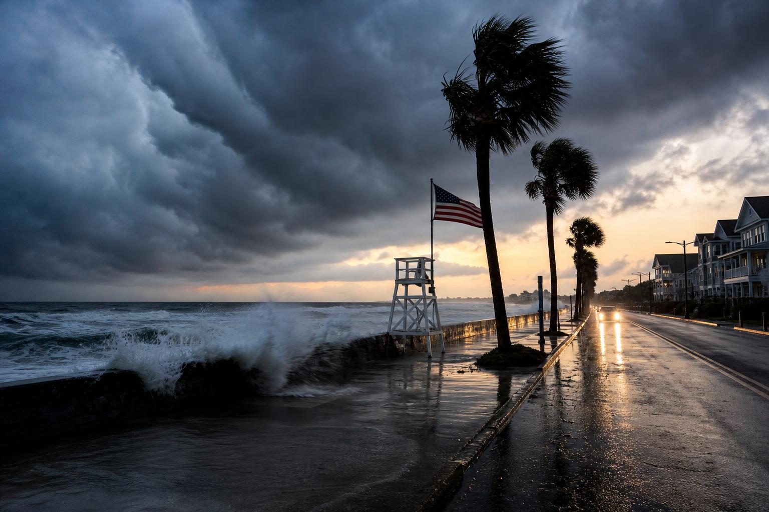
Illustration · Liberty Bell Report
South Florida is still drying out from an extraordinary overnight downpour, and forecasters say the same weather system may not be finished yet. A developing storm near the Bahamas could move north this weekend and bring wind, rain and coastal flooding to the East Coast just as millions of families begin traveling for Thanksgiving.
A foot of rain in a few hours
Torrential rain flooded roads and homes across southeast Florida overnight, and crews carried out high-water rescues, CNN reported. More than a foot of rain fell over several hours near Hollywood, which CNN noted is more than three Novembers' worth of rain. KOMO News reported that repeated rounds of storms dropped as much as 12 to 15 inches in parts of Hollywood, with the National Weather Service in Miami recording rainfall rates of 5 to 8 inches an hour just northwest of the city. The deluge also brought down the roof of a Hollywood synagogue, with no injuries reported, as this site has reported.
The threat is not over for Florida. The state's Atlantic coast faces a Level 3 out of 4 risk of flooding rain for a third straight day through Friday, according to CNN. Residents should avoid driving through standing water; it takes only a few inches of moving water to sweep a car off the road.
The storm to watch
Forecasters are focused on an area of low pressure near the Bahamas. The National Hurricane Center gives it about a 40% chance of becoming a tropical or subtropical storm over the next seven days, according to a forecast summary carried by Yahoo News. CNN reported the system is expected to move north this weekend, and that a track close to the coast could cause airport delays and treacherous driving, including along parts of Interstate 95, while a track farther out in the Atlantic would spare most of the coast.
The Weather Channel reported that coastal flooding at high tide, high surf and dangerous rip currents look likely from the Virginia Tidewater to New England, and that flight delays at major Northeast airports are possible Monday. If the system strengthens enough to be named, it would become Subtropical Storm Kyle, the Weather Channel noted.
A record El Niño in the background
The bigger pattern is part of the story. The Washington Post reported that the strongest El Niño on record may complicate Thanksgiving week travel, with several storm threats lining up along the East Coast. Newsweek reported that meteorologists expect unsettled weather during Thanksgiving week to affect travel across several parts of the country. El Niño years typically bring a more active storm track across the southern United States in late fall and winter, and this one is proving no exception.
What travelers should do now
Thanksgiving falls on Nov. 26 this year, and the busiest travel days begin this weekend. A few common-sense steps will help:
If you are flying through the Northeast on Sunday or Monday, check your airline's app for travel waivers before the storm arrives. Airlines often let passengers change flights without a fee when a named storm threatens.
If you are driving the I-95 corridor, consider leaving a day early or waiting until the system passes. Coastal roads in the Carolinas, Virginia and the Mid-Atlantic are the most likely to see flooding at high tide.
Keep a phone charger, water, snacks and a blanket in the car, and let family know your route.
In Florida, stay off flooded roads, keep storm drains near your home clear of debris, and keep checking local forecasts through Friday.
What comes next
The forecast will sharpen over the next 48 hours as the low near the Bahamas organizes or falls apart. The key questions are how close it tracks to the coast and how fast it moves. A slower, closer storm means more rain and more flooding; a faster track offshore means a breezy weekend and a smoother start to the holiday. Either way, families should plan for possible delays and keep a close eye on updates. We will keep tracking it for you.
Sources
- CNN: Severe flooding hits parts of coastal Florida from over a foot of rain and a lot more is incoming (link)
- The Weather Channel: East Coast storm possible this weekend into Monday (link)
- The Washington Post: Thanksgiving week forecast: The strongest El Niño on record may complicate travel (link)
- Yahoo News: Flood threat for Florida to spread along East Coast, complicating early Thanksgiving travel (link)
- KOMO News: Repeated rounds of heavy rain flood Hollywood, Florida roads, freeway (link)
- Newsweek: El Niño-Powered Storms Could Disrupt Thanksgiving Travel for Millions (link)
— 30 —